
Mapping coasts and waterways to support safe and sustainable development.
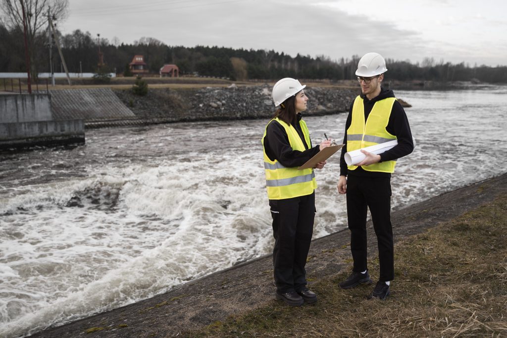
Hydrographic Surveyors measure water depths, seabeds, and shorelines with sonar and high-precision satellite positioning. They produce charts and models used for ports, intakes, and coastal protection. Their work supports secure water access and safeguards coastal agriculture and infrastructure.
Job Responsibilities