
Capturing and using photographic data to produce accurate land and survey maps.
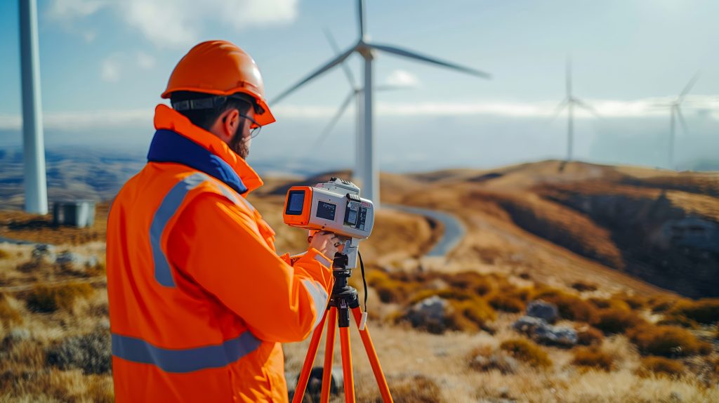
Photographic Surveyors use cameras and photogrammetry to measure land and structures. They convert aerial and ground photos into precise maps and 3D models. Their work supports smarter land use, water planning, and agricultural area development.
Job Responsibilities